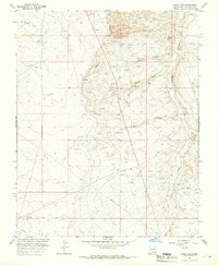
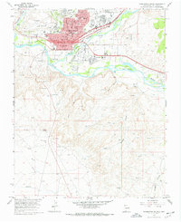
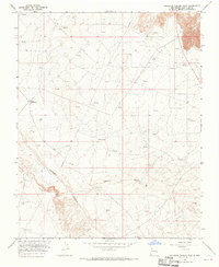
1965 Map of Hugh Lake
USGS Topo · Published 1970About this map
The Hugh Lake region of San Juan County reveals a landscape defined by mid-century energy development and sparse ranching infrastructure. Mapping by the U.S. Bureau of Reclamation and USGS in the mid-1960s captures an extensive network of extractive sites, including numerous Oil Well and Gas Well locations interspersed with livestock watering points like English Well and Coppinger Well. The topography is dominated by dramatic drainage systems, most notably the Ojo Amarillo Canyon in the northwest and the West Fork Gallegos Canyon to the east. A prominent Pipeline corridor traverses the area, supporting the industrial activity signaled by a Pumping Sta and Substation. This era shows the transition of the high desert from traditional open range toward a more complex industrial footprint, with long-established landmarks like Charlie Well and Charlie Wash remaining as vital markers of the arid terrain's water history.
Find a feature on this map
20 named features on this map. Tap any name to fly to it.
Don’t see what you’re looking for? This feature index may not catch every label — zoom into the map to look around manually.
Map Details
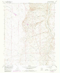
Editions of this 1965 Hugh Lake Map
2 editions found
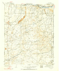
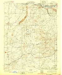
Other maps of this area

1889 · Chaco
USGS Topo · 1:250,000

1892 · Chaco
USGS Topo · 1:250,000

1927 · Sulphur Spring
USGS Topo · 1:96,000
1928 · Kirtland
USGS Topo · 1:125,000
1932 · Kirtland
USGS Topo · 1:125,000

1954 · Shiprock
USGS Topo · 1:250,000

1958 · Shiprock
USGS Topo · 1:250,000

1959 · Shiprock
USGS Topo · 1:250,000
1965 · Farmington South
USGS Topo · 1:24,000
1965 · Gallegos Trading Post
USGS Topo · 1:24,000