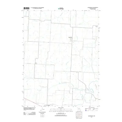
2011 Map of Hughesville
USGS Topo · Published 2011About this map
Hughesville sits at the center of this Pettis County landscape, where the agricultural grid is defined by a dense network of country roads such as Walnut Grove Rd and Prairie Chapel Rd. The terrain is deeply etched by a complex drainage system flowing toward Muddy Creek and Little Muddy Creek in the south, while Heaths Creek and Hess Creek dominate the northern half. These waterways historically influenced the placement of early settlements and burial grounds, such as High Point Cemetery in the northeast and Prairie Hill Cemetery further west.
Find a feature on this map
49 named features on this map. Tap any name to fly to it.
Don’t see what you’re looking for? This feature index may not catch every label — zoom into the map to look around manually.
Map Details
Editions of this 2011 Hughesville Map
This is the sole edition of this map. No revisions or reprints were ever made.
Other maps of this area

1887 · Sedalia
USGS Topo · 1:125,000

1894 · Sedalia
USGS Topo · 1:125,000

1939 · Sweet Springs
USGS Topo · 1:62,500

1940 · Sweet Springs
USGS Topo · 1:62,500

1941 · Sweet Springs
USGS Topo · 1:62,500

1944 · Sedalia West
USGS Topo · 1:24,000

1944 · Sedalia East
USGS Topo · 1:24,000

1945 · Sweet Springs
USGS Topo · 1:62,500

1946 · Sedalia West
USGS Topo · 1:24,000

1946 · Sedalia East
USGS Topo · 1:24,000