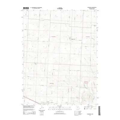
2014 Map of Hughesville
USGS Topo · Published 2014About this map
Hughesville and the crossroads of Dresden anchor this 2014 survey of the central Missouri prairie. The landscape is defined by the dendritic drainage patterns of several tributaries, most notably Heaths Cr, Little Muddy Cr, and Brushy Cr, which carve shallow valleys through the agricultural terrain. The grid of rural roads, including Hughesville RD and Knight RD, reflects the persistent Public Land Survey System structure that has organized this region for generations.
Find a feature on this map
49 named features on this map. Tap any name to fly to it.
Don’t see what you’re looking for? This feature index may not catch every label — zoom into the map to look around manually.
Map Details
Editions of this 2014 Hughesville Map
This is the sole edition of this map. No revisions or reprints were ever made.
Other maps of this area

1887 · Sedalia
USGS Topo · 1:125,000

1894 · Sedalia
USGS Topo · 1:125,000

1939 · Sweet Springs
USGS Topo · 1:62,500

1940 · Sweet Springs
USGS Topo · 1:62,500

1941 · Sweet Springs
USGS Topo · 1:62,500

1944 · Sedalia West
USGS Topo · 1:24,000

1944 · Sedalia East
USGS Topo · 1:24,000

1945 · Sweet Springs
USGS Topo · 1:62,500

1946 · Sedalia West
USGS Topo · 1:24,000

1946 · Sedalia East
USGS Topo · 1:24,000