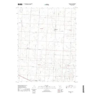
2017 Map of Hughesville
USGS Topo · Published 2017About this map
Hughesville serves as the central hub of this Missouri agricultural landscape, where the street grid of Main St and 2nd St meets the rural road network. The terrain is defined by a dense network of meandering waterways, including Heaths Cr in the north and the complex drainage of Little Muddy Cr and Muddy Creek to the south. These creeks carve through the prairie, influencing the placement of early farmsteads and transportation routes like State Hwy H and State Hwy D.
Find a feature on this map
59 named features on this map. Tap any name to fly to it.
Don’t see what you’re looking for? This feature index may not catch every label — zoom into the map to look around manually.
Map Details
Editions of this 2017 Hughesville Map
This is the sole edition of this map. No revisions or reprints were ever made.
Other maps of this area

1887 · Sedalia
USGS Topo · 1:125,000

1894 · Sedalia
USGS Topo · 1:125,000

1939 · Sweet Springs
USGS Topo · 1:62,500

1940 · Sweet Springs
USGS Topo · 1:62,500

1941 · Sweet Springs
USGS Topo · 1:62,500

1944 · Sedalia West
USGS Topo · 1:24,000

1944 · Sedalia East
USGS Topo · 1:24,000

1945 · Sweet Springs
USGS Topo · 1:62,500

1946 · Sedalia West
USGS Topo · 1:24,000

1946 · Sedalia East
USGS Topo · 1:24,000