2021 Map of Hughesville
USGS Topo · Published 2021About this map
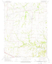
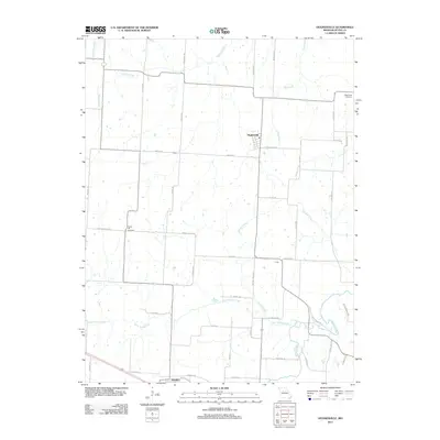
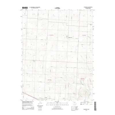
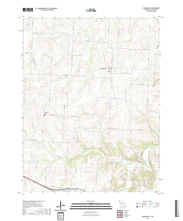
Agricultural lands and rolling drainages define this portion of Pettis County, centered on the village of Hughesville. The landscape is a network of small watercourses, including the westward-flowing Heaths Cr and the complex system of the Little Muddy Cr and Muddy Creek to the south. These creeks once dictated the placement of early homesteads and crossing points in this rural prairie region. In the southern reaches, the settlement of Dresden sits near the junction of several county roads, serving as a secondary local hub. Genealogical interest is anchored by the Prairie Hill Presbyterian Cem and High Point Cem, which preserve the names of pioneer families. The map also records numerous local thoroughfares like Prairie Chapel Rd and Walnut Grove RD, reflecting a long-established pattern of farm-to-market connectivity that has persisted through the decades.
Find a feature on this map
57 named features on this map. Tap any name to fly to it.
Don’t see what you’re looking for? This feature index may not catch every label — zoom into the map to look around manually.
Map Details
Editions of this 2021 Hughesville Map
This is the sole edition of this map. No revisions or reprints were ever made.
Historical Maps of Hughesville Through Time
5 maps found