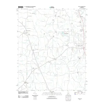
2011 Map of Hulaco
USGS Topo · Published 2011About this map
Joppa Post Office and the surrounding community of Joppa sit at the center of this 2011 survey, illustrating a landscape where small-scale agriculture and rural hamlets remain prominent. To the south, Baileyton is anchored by the Baileyton Post Office and Baileyton Cemetery, while the northern reaches include family-named agricultural operations like Bobby Briscoe Farms and the John H Burden Dairy. The drainage patterns of Cotaco Creek and its many tributaries, such as Yates Creek and Hog Jaw Creek, dictate the winding road networks and location of landmarks like the Mill Pond Bridge.
Find a feature on this map
197 named features on this map. Tap any name to fly to it.
Don’t see what you’re looking for? This feature index may not catch every label — zoom into the map to look around manually.
Map Details
Editions of this 2011 Hulaco Map
This is the sole edition of this map. No revisions or reprints were ever made.
Other maps of this area

1885 · Gadsden
USGS Topo · 1:125,000

1888 · Cullman
USGS Topo · 1:125,000

1888 · Gadsden
USGS Topo · 1:125,000

1892 · Cullman
USGS Topo · 1:125,000

1892 · Gadsden
USGS Topo · 1:125,000

1895 · Gadsden
USGS Topo · 1:125,000

1903 · Gadsden
USGS Topo · 1:125,000

1936 · Guntersville Dam
USGS Topo · 1:24,000

1936 · Hulaco
USGS Topo · 1:24,000

1936 · Arab
USGS Topo · 1:24,000