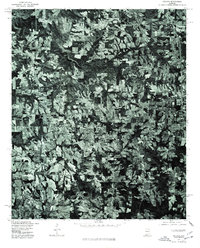
1975 Map of Hulaco
USGS Topo · Published 1977About this map
Hulaco and the surrounding agricultural lands of Cullman and Marshall Counties are presented in this orthophotograph, derived from aerial imagery captured in late 1975. The settlement of Joppa occupies a central position on the map, illustrating the clustered development patterns typical of the rural South during this era. To the east, the edge of Arab is visible, showing a distinct shift from the larger, irregular field patterns to a more organized grid-like layout of roads and residential parcels. This specific view, produced in cooperation with the Soil Conservation Service, emphasizes the varied land use between dense timber stands and cleared pasture, revealing the intricate drainage patterns and small-scale farming that defined the region's mid-1970s economy.
Find a feature on this map
3 named features on this map. Tap any name to fly to it.
Don’t see what you’re looking for? This feature index may not catch every label — zoom into the map to look around manually.
Map Details
Editions of this 1975 Hulaco Map
This is the sole edition of this map. No revisions or reprints were ever made.
Other maps of this area

1885 · Gadsden
USGS Topo · 1:125,000

1888 · Cullman
USGS Topo · 1:125,000

1888 · Gadsden
USGS Topo · 1:125,000

1892 · Cullman
USGS Topo · 1:125,000

1892 · Gadsden
USGS Topo · 1:125,000

1895 · Gadsden
USGS Topo · 1:125,000

1903 · Gadsden
USGS Topo · 1:125,000

1936 · Guntersville Dam
USGS Topo · 1:24,000

1936 · Hulaco
USGS Topo · 1:24,000

1936 · Arab
USGS Topo · 1:24,000