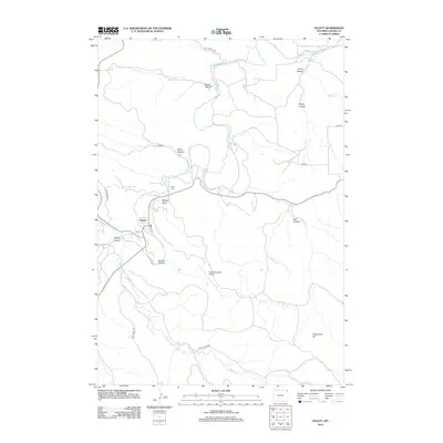
2012 Map of Hulett
USGS Topo · Published 2012About this map
The town of Hulett is the primary settlement on this map, situated within a loop of the Belle Fourche River as it winds through northeastern Wyoming. This 2012 survey illustrates a landscape defined by the intersection of river valley hydrology and the high-elevation terrain of the Black Hills region. Local navigation relies on a network of rural routes such as Old Alzada Rd and Co Rd 51, while aviation access is provided by the Hulett Municipal Airport located south of the town center. Local history is anchored by the Hulett Cem, positioned near the McQue Draw. The topography is marked by numerous canyons and hills that break the plain, including the prominent Cockscomb Hill to the southeast and the steep drainages of Red Canyon and Schiller Canyon. These features indicate a rugged ranching and timber environment where development is clustered along the river corridor.
Find a feature on this map
25 named features on this map. Tap any name to fly to it.
Don’t see what you’re looking for? This feature index may not catch every label — zoom into the map to look around manually.
Map Details
Editions of this 2012 Hulett Map
This is the sole edition of this map. No revisions or reprints were ever made.
Other maps of this area

1901 · Aladdin
USGS Topo · 1:125,000

1903 · Aladdin
USGS Topo · 1:125,000

1905 · Devils Tower
USGS Topo · 1:125,000

1954 · Strawberry Hill
USGS Topo · 1:24,000

1954 · Storm Hill
USGS Topo · 1:24,000

1954 · Gillette
USGS Topo · 1:250,000

1955 · Devils Tower
USGS Topo · 1:62,500

1955 · Gillette
USGS Topo · 1:250,000

1957 · Mona
USGS Topo · 1:62,500

1957 · Seely
USGS Topo · 1:62,500