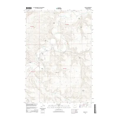
2015 Map of Hulett
USGS Topo · Published 2015About this map
Hulett sits at a geographic crossroads in Crook County, where the Belle Fourche River winds through a landscape defined by prominent draws and canyons. The town's layout is grounded by its local institutions, including the Hulett Cem and the Hulett Municipal Airport located to the south. The surrounding terrain is a network of named drainages and peaks, such as Davis Canyon and Myers Canyon in the northeast, and the distinctive Cockscomb Hill in the southeast.
Find a feature on this map
38 named features on this map. Tap any name to fly to it.
Don’t see what you’re looking for? This feature index may not catch every label — zoom into the map to look around manually.
Map Details
Editions of this 2015 Hulett Map
This is the sole edition of this map. No revisions or reprints were ever made.
Other maps of this area

1901 · Aladdin
USGS Topo · 1:125,000

1903 · Aladdin
USGS Topo · 1:125,000

1905 · Devils Tower
USGS Topo · 1:125,000

1954 · Strawberry Hill
USGS Topo · 1:24,000

1954 · Storm Hill
USGS Topo · 1:24,000

1954 · Gillette
USGS Topo · 1:250,000

1955 · Devils Tower
USGS Topo · 1:62,500

1955 · Gillette
USGS Topo · 1:250,000

1957 · Mona
USGS Topo · 1:62,500

1957 · Seely
USGS Topo · 1:62,500