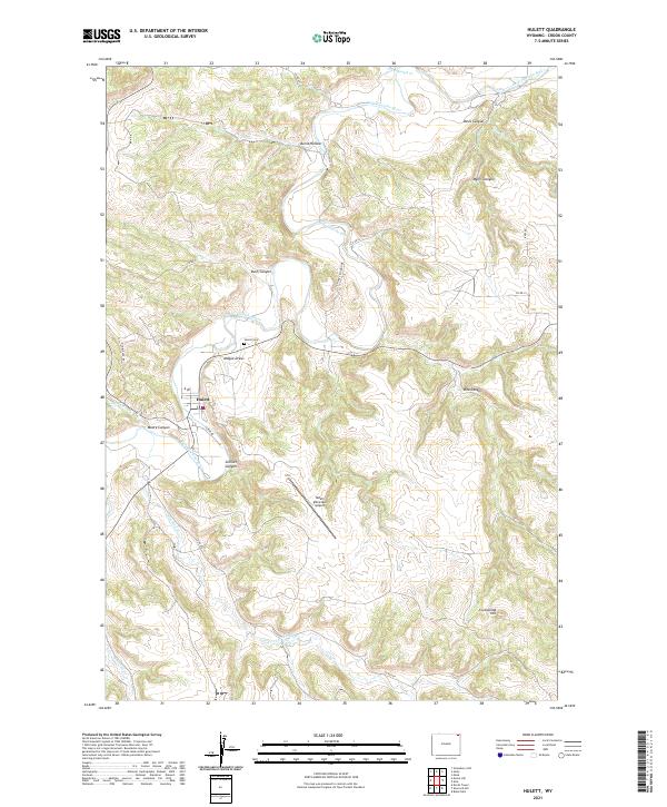
2021 Map of Hulett
USGS Topo · Published 2021About this map
The Belle Fourche River snakes through the northern Wyoming landscape, carving a series of prominent drainages and plateaus around the town of Hulett. This 2021 topographic record illustrates a region defined by its complex hydrology and vertical relief, where watercourses like Sourdough Cr and Blacktail Cr feed into the primary river valley. The town of Hulett serves as the central hub, supported by local infrastructure such as the Hulett Municipal Airport and connected by historical routes including Old Alzada Rd and Iv Bar Rd.
Find a feature on this map
30 named features on this map. Tap any name to fly to it.
Don’t see what you’re looking for? This feature index may not catch every label — zoom into the map to look around manually.
Map Details
Editions of this 2021 Hulett Map
This is the sole edition of this map. No revisions or reprints were ever made.
Other maps of this area

1901 · Aladdin
USGS Topo · 1:125,000

1903 · Aladdin
USGS Topo · 1:125,000

1905 · Devils Tower
USGS Topo · 1:125,000

1954 · Strawberry Hill
USGS Topo · 1:24,000

1954 · Storm Hill
USGS Topo · 1:24,000

1954 · Gillette
USGS Topo · 1:250,000

1955 · Devils Tower
USGS Topo · 1:62,500

1955 · Gillette
USGS Topo · 1:250,000

1957 · Mona
USGS Topo · 1:62,500

1957 · Seely
USGS Topo · 1:62,500