
1952 Map of Hull Mountain
USGS Topo · Published 1954About this map
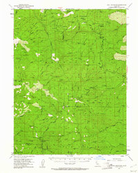
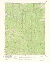
Mendocino National Forest defines this high-elevation landscape, where the headwaters of the Eel River and numerous creeks carve through the ridges of Northern California. The mapping reveals a network of remote outposts and seasonal camps critical to forest management and local history during the mid-century, including the Plaskett Guard Sta and the Eel River Ranger Sta. The terrain is marked by significant peaks such as Hull Mountain and Black Butte, with human activity concentrated at sites like Plaskett Meadows and scattered family-named locations such as Carpenter Place and Keller Place. This era shows a transition in recreation and land use, evidenced by the presence of Masterson Campground and several backcountry camps like Lee Logan Camp and Graves Cabin. The map serves as a detailed record of the trails and early roads that once connected these isolated mountain reaches.
Find a feature on this map
125 named features on this map. Tap any name to fly to it.
Don’t see what you’re looking for? This feature index may not catch every label — zoom into the map to look around manually.
Map Details
Editions of this 1952 Hull Mountain Map
3 editions found
Other maps of this area

1919 · Elk Creek
USGS Topo · 1:62,500

1922 · Hullville
USGS Topo · 1:62,500

1926 · Covelo
USGS Topo · 1:62,500

1929 · Eden Valley
USGS Topo · 1:62,500

1943 · Pomo
USGS Topo · 1:62,500

1948 · Elk Creek
USGS Topo · 1:62,500

1951 · Lake Pillsbury
USGS Topo · 1:62,500

1951 · Stonyford
USGS Topo · 1:62,500

1952 · Paskenta
USGS Topo · 1:62,500

1952 · Eden Valley
USGS Topo · 1:62,500