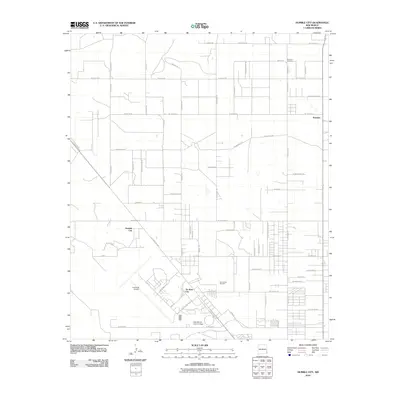
2010 Map of Humble City
USGS Topo · Published 2010About this map
Humble City and the surrounding high plains of Lea County are captured in this 2010 survey, showcasing a landscape defined by its grid of rural roads and emerging industrial zones. The map illustrates a transitional geography where agricultural tradition meets modern infrastructure, anchored by the New Mexico Junior College in the south and the sprawling Industrial Airpark to its west. Small settlements like Knowles remain visible in the northeast, marked by the nearby Knowles Cemetery, while the development of Air Base City reflects the area's mid-century military and aviation legacy. The road network, including the N Lovington Hwy and numerous county routes like W Stiles Rd, links these scattered communities across the arid terrain. This edition provides a detailed look at the rural-industrial interface just outside of Hobbs, documenting property boundaries and land use before subsequent regional growth.
Find a feature on this map
64 named features on this map. Tap any name to fly to it.
Don’t see what you’re looking for? This feature index may not catch every label — zoom into the map to look around manually.
Map Details
Editions of this 2010 Humble City Map
This is the sole edition of this map. No revisions or reprints were ever made.
Other maps of this area

1954 · Hobbs
USGS Topo · 1:250,000

1958 · Hobbs
USGS Topo · 1:250,000

1962 · Lovington
USGS Topo · 1:24,000

1962 · Lovington
USGS Topo · 1:62,500

1963 · Monument
USGS Topo · 1:62,500

1969 · Humble City
USGS Topo · 1:24,000

1969 · Hobbs East
USGS Topo · 1:24,000

1969 · Humble City NE
USGS Topo · 1:24,000

1969 · Hobbs West
USGS Topo · 1:24,000

1969 · Humble City SE
USGS Topo · 1:24,000