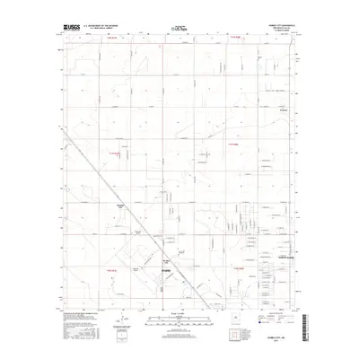
2017 Map of Humble City
USGS Topo · Published 2017About this map
Humble City and the northern outskirts of Hobbs define this high-plains landscape in Lea County. The map details a period of institutional and industrial expansion, featuring the University of the Southwest campus and the sprawling Industrial Airpark complex. To the northeast, the settlement of Knowles remains a distinct point of interest, anchored by the Knowles Cem. The grid of the Permian Basin is evident in the dense network of county roads like Co RD 78 and Co RD 82, which connect the disparate residential pockets of Air Base City and North Hobbs. This layout illustrates the transition from traditional ranching lands to a more structured municipal and industrial corridor, where local street names such as W Antelope Ln and W Prairie Dog Ln reflect the regional wildlife.
Find a feature on this map
71 named features on this map. Tap any name to fly to it.
Don’t see what you’re looking for? This feature index may not catch every label — zoom into the map to look around manually.
Map Details
Editions of this 2017 Humble City Map
This is the sole edition of this map. No revisions or reprints were ever made.
Other maps of this area

1954 · Hobbs
USGS Topo · 1:250,000

1958 · Hobbs
USGS Topo · 1:250,000

1962 · Lovington
USGS Topo · 1:24,000

1962 · Lovington
USGS Topo · 1:62,500

1963 · Monument
USGS Topo · 1:62,500

1969 · Humble City
USGS Topo · 1:24,000

1969 · Hobbs East
USGS Topo · 1:24,000

1969 · Humble City NE
USGS Topo · 1:24,000

1969 · Hobbs West
USGS Topo · 1:24,000

1969 · Humble City SE
USGS Topo · 1:24,000