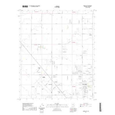
2023 Map of Humble City
USGS Topo · Published 2023About this map
Hobbs serves as the central hub of this Lea County landscape, illustrating the modern footprint of the New Mexico oil patch. The map captures the northward expansion of the city into North Hobbs and the established educational corridor along the southern edge, featuring University of the Southwest and New Mexico Junior College. Further north, the historic community of Knowles is represented near the Knowles Cem, appearing as a small settlement surrounded by a vast grid of county roads such as Co Rd 78 and Co Rd 79.
Find a feature on this map
113 named features on this map. Tap any name to fly to it.
Don’t see what you’re looking for? This feature index may not catch every label — zoom into the map to look around manually.
Map Details
Editions of this 2023 Humble City Map
This is the sole edition of this map. No revisions or reprints were ever made.
Other maps of this area

1954 · Hobbs
USGS Topo · 1:250,000

1958 · Hobbs
USGS Topo · 1:250,000

1962 · Lovington
USGS Topo · 1:24,000

1962 · Lovington
USGS Topo · 1:62,500

1963 · Monument
USGS Topo · 1:62,500

1969 · Humble City
USGS Topo · 1:24,000

1969 · Hobbs East
USGS Topo · 1:24,000

1969 · Humble City NE
USGS Topo · 1:24,000

1969 · Hobbs West
USGS Topo · 1:24,000

1969 · Humble City SE
USGS Topo · 1:24,000