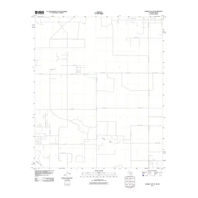
2010 Map of Humble City SE
USGS Topo · Published 2010About this map
State Line Rd defines the eastern boundary of this West Texas and New Mexico borderland, where the high plains are carved by the subtle depressions of Johnson Draw and Seminole Draw. In this 2010 survey, the landscape is primarily organized by an orderly grid of county roads and ranch corridors, reflecting a modern agricultural and ranching layout. Family-named routes such as N Gardner Rd, N Kornegay Ln, and N Johnson Rd suggest the enduring presence of local landholders across the Llano Estacado. The intersection of Ranch Road 3306 and various east-west thoroughfares like E Alabama St and E Lovelady Rd highlights the rural connectivity vital to this region's ranching economy at the start of the 21st century.
Find a feature on this map
21 named features on this map. Tap any name to fly to it.
Don’t see what you’re looking for? This feature index may not catch every label — zoom into the map to look around manually.
Map Details
Editions of this 2010 Humble City SE Map
This is the sole edition of this map. No revisions or reprints were ever made.
Other maps of this area

1954 · Hobbs
USGS Topo · 1:250,000

1958 · Hobbs
USGS Topo · 1:250,000

1969 · Humble City
USGS Topo · 1:24,000

1969 · Hobbs East
USGS Topo · 1:24,000

1969 · Humble City NE
USGS Topo · 1:24,000

1969 · Hobbs West
USGS Topo · 1:24,000

1969 · Humble City SE
USGS Topo · 1:24,000

1970 · Humble City SE
USGS Topo · 1:24,000

1971 · Higginbotham
USGS Topo · 1:24,000

1971 · Denver City SW
USGS Topo · 1:24,000