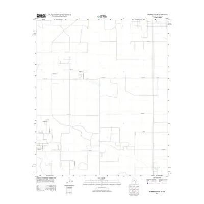
2012 Map of Humble City SE
USGS Topo · Published 2012About this map
This landscape in Lea County along the New Mexico and Texas border is defined by a grid of rural roads and residential developments appearing in the early 21st century. The map reveals an area organized by numbered county roads such as Cord-218 and Cord-212, alongside a series of named residential streets that suggest modern subdivision growth in this high plains region. Features like Ranch Road 3306 serve as primary north-south arteries, while the clusters of streets near E Rushin Rd and E Tulsa St indicate localized pockets of settlement. This 2012 survey illustrates the transition of rural ranch land into a more structured residential network, with names like Tabosa Rd and Mesquite Ln reflecting the native vegetation of the surrounding Chihuahuan Desert environment.
Find a feature on this map
31 named features on this map. Tap any name to fly to it.
Don’t see what you’re looking for? This feature index may not catch every label — zoom into the map to look around manually.
Map Details
Editions of this 2012 Humble City SE Map
This is the sole edition of this map. No revisions or reprints were ever made.
Other maps of this area

1954 · Hobbs
USGS Topo · 1:250,000

1958 · Hobbs
USGS Topo · 1:250,000

1969 · Humble City
USGS Topo · 1:24,000

1969 · Hobbs East
USGS Topo · 1:24,000

1969 · Humble City NE
USGS Topo · 1:24,000

1969 · Hobbs West
USGS Topo · 1:24,000

1969 · Humble City SE
USGS Topo · 1:24,000

1970 · Humble City SE
USGS Topo · 1:24,000

1971 · Higginbotham
USGS Topo · 1:24,000

1971 · Denver City SW
USGS Topo · 1:24,000