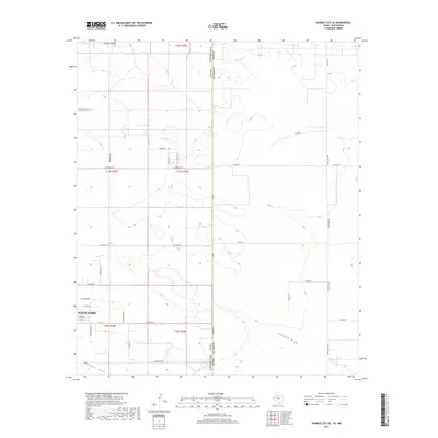
2019 Map of Humble City SE
USGS Topo · Published 2019About this map
North Hobbs marks the primary residential expansion on the western edge of this High Plains landscape, where the flat terrain of Lea County meets the Texas-New Mexico border. The 2019 survey captures a grid of rural ranch roads and residential streets, including E Tulsa St and E Butte St, carving into the semi-arid grasslands. While much of the land remains divided into large parcels under the Public Land Survey System, the natural drainage patterns of Johnson Draw and Seminole Draw provide the only significant topographic variation across the plains. Large ranching operations are evidenced by landmarks like Staple E Ranch Ln and Rose Ranch Rd, illustrating the transition from traditional open-country ranching to modern suburban infill. The eastern half of the map, situated in Gaines County, remains largely undeveloped, defined by long stretches of Ranch Rd 3306 and FM 3306.
Find a feature on this map
40 named features on this map. Tap any name to fly to it.
Don’t see what you’re looking for? This feature index may not catch every label — zoom into the map to look around manually.
Map Details
Editions of this 2019 Humble City SE Map
This is the sole edition of this map. No revisions or reprints were ever made.
Other maps of this area

1954 · Hobbs
USGS Topo · 1:250,000

1958 · Hobbs
USGS Topo · 1:250,000

1969 · Humble City
USGS Topo · 1:24,000

1969 · Hobbs East
USGS Topo · 1:24,000

1969 · Humble City NE
USGS Topo · 1:24,000

1969 · Hobbs West
USGS Topo · 1:24,000

1969 · Humble City SE
USGS Topo · 1:24,000

1970 · Humble City SE
USGS Topo · 1:24,000

1971 · Higginbotham
USGS Topo · 1:24,000

1971 · Denver City SW
USGS Topo · 1:24,000