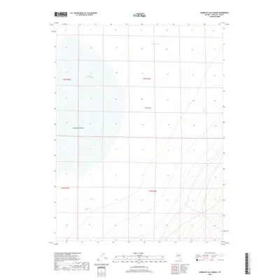
2018 Map of Humboldt Salt Marsh
USGS Topo · Published 2018About this map
Humboldt Salt Marsh dominates this landscape in Churchill County, appearing as a broad, white expanse within the larger Dixie Valley. The map details a hydrologically unique desert environment where surface water is scarce, defined instead by localized features like Dixie Meadows and Bernice Cr to the east. Modern land management is reflected through the inclusion of township and range boundaries such as t23n r36e and t22n r35e. For those studying the arid basins of the Great Basin, the placement of isolated water sources like Buckbrush Spring reveals the critical points of survival and navigation in this desert floor geography.
Find a feature on this map
9 named features on this map. Tap any name to fly to it.
Don’t see what you’re looking for? This feature index may not catch every label — zoom into the map to look around manually.
Map Details
Editions of this 2018 Humboldt Salt Marsh Map
This is the sole edition of this map. No revisions or reprints were ever made.
Other maps of this area

1908 · Carson Sink
USGS Topo · 1:250,000

1910 · Carson Sink
USGS Topo · 1:250,000

1955 · Millett
USGS Topo · 1:250,000

1957 · Reno
USGS Topo · 1:250,000

1959 · Reno
USGS Topo · 1:250,000

1959 · Millett
USGS Topo · 1:250,000

1960 · Reno
USGS Topo · 1:250,000

1966 · Clan Alpine Ranch
USGS Topo · 1:62,500

1966 · Humboldt Salt Marsh
USGS Topo · 1:62,500

1966 · Dixie Hot Springs
USGS Topo · 1:62,500