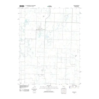
2009 Map of Hume
USGS Topo · Published 2009About this map
Hume serves as the primary hub of this western Bates County landscape, characterized by a structured grid of streets including Oak St, Walnut St, and Valley St. The surrounding countryside is defined by an extensive network of waterways, with Duncan Creek and Walnut Creek winding through the terrain towards the Osage Plains. This 2009 survey highlights a rural economy still anchored by small communities and historical landmarks, such as the Rock Post Office in the eastern portion of the quadrangle.
Find a feature on this map
24 named features on this map. Tap any name to fly to it.
Don’t see what you’re looking for? This feature index may not catch every label — zoom into the map to look around manually.
Map Details
Editions of this 2009 Hume Map
This is the sole edition of this map. No revisions or reprints were ever made.
Other maps of this area

1884 · Fort Scott
USGS Topo · 1:125,000

1886 · Nevada
USGS Topo · 1:125,000

1886 · Fort Scott
USGS Topo · 1:125,000

1887 · Butler
USGS Topo · 1:125,000

1887 · Mound City
USGS Topo · 1:125,000

1893 · Fort Scott
USGS Topo · 1:125,000

1893 · Mound City
USGS Topo · 1:125,000

1894 · Butler
USGS Topo · 1:125,000

1894 · Nevada
USGS Topo · 1:125,000

1937 · New Home
USGS Topo · 1:24,000