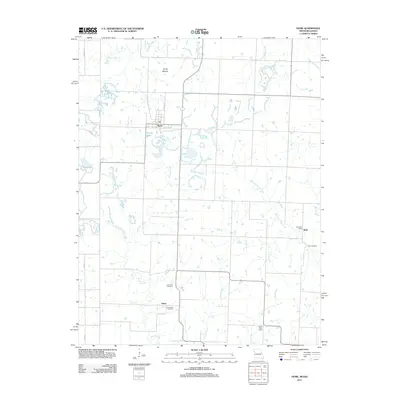
2011 Map of Hume
USGS Topo · Published 2011About this map
Hume anchors this West-Central Missouri landscape along the Kansas border, situated within a complex network of prairie streams and rural landmarks. The settlement pattern is defined by its proximity to water sources and small-scale agriculture, with Duncan Creek and the West Fork Pryor Creek draining the surrounding plains. For genealogical research, the map provides precise locations for the Lawrence Cemetery, Underwood Cemetery, and Clark Cemetery, which are scattered among the outlying communities of Amos and Rock.
Find a feature on this map
24 named features on this map. Tap any name to fly to it.
Don’t see what you’re looking for? This feature index may not catch every label — zoom into the map to look around manually.
Map Details
Editions of this 2011 Hume Map
This is the sole edition of this map. No revisions or reprints were ever made.
Other maps of this area

1884 · Fort Scott
USGS Topo · 1:125,000

1886 · Nevada
USGS Topo · 1:125,000

1886 · Fort Scott
USGS Topo · 1:125,000

1887 · Butler
USGS Topo · 1:125,000

1887 · Mound City
USGS Topo · 1:125,000

1893 · Fort Scott
USGS Topo · 1:125,000

1893 · Mound City
USGS Topo · 1:125,000

1894 · Butler
USGS Topo · 1:125,000

1894 · Nevada
USGS Topo · 1:125,000

1937 · New Home
USGS Topo · 1:24,000