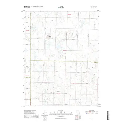
2017 Map of Hume
USGS Topo · Published 2017About this map
The town of Hume serves as the primary hub of this Missouri borderlands landscape, situated just east of the state line where Kansas and Missouri meet. This 2017 study details a rural agricultural environment defined by a dense network of country roads such as State Hwy A and SW 9508 Co Rd, which divide the terrain into traditional section blocks. To the south, the settlement of Amos marks the lower portion of the Bates County and Vernon County border.
Find a feature on this map
51 named features on this map. Tap any name to fly to it.
Don’t see what you’re looking for? This feature index may not catch every label — zoom into the map to look around manually.
Map Details
Editions of this 2017 Hume Map
This is the sole edition of this map. No revisions or reprints were ever made.
Other maps of this area

1884 · Fort Scott
USGS Topo · 1:125,000

1886 · Nevada
USGS Topo · 1:125,000

1886 · Fort Scott
USGS Topo · 1:125,000

1887 · Butler
USGS Topo · 1:125,000

1887 · Mound City
USGS Topo · 1:125,000

1893 · Fort Scott
USGS Topo · 1:125,000

1893 · Mound City
USGS Topo · 1:125,000

1894 · Butler
USGS Topo · 1:125,000

1894 · Nevada
USGS Topo · 1:125,000

1937 · New Home
USGS Topo · 1:24,000