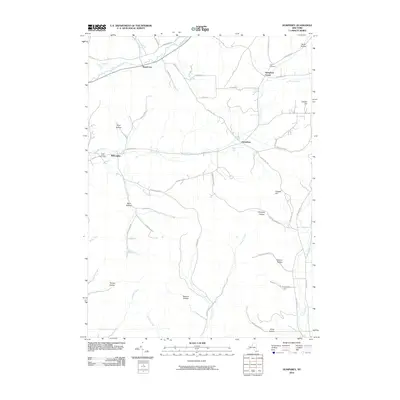
2010 Map of Humphrey
USGS Topo · Published 2010About this map
Humphrey Center and the surrounding Cattaraugus County landscape are defined by a dense network of creek-fed valleys and high ridges in the early 21st century. The settlement pattern remains largely dispersed along the narrow drainage paths of Forks Creek and Wrights Creek, where small clusters like Sugartown and Willoughby sit at key road junctions. The topography is meticulously named, with numerous hollows such as Flint Hollow, Bear Hollow, and Slocum Hollow carving into the upland terrain.
Find a feature on this map
58 named features on this map. Tap any name to fly to it.
Don’t see what you’re looking for? This feature index may not catch every label — zoom into the map to look around manually.
Map Details
Editions of this 2010 Humphrey Map
This is the sole edition of this map. No revisions or reprints were ever made.
Other maps of this area

1898 · Olean
USGS Topo · 1:62,500

1900 · Salamanca
USGS Topo · 1:62,500

1924 · Ellicottville
USGS Topo · 1:62,500

1924 · Franklinville
USGS Topo · 1:62,500

1938 · Salamanca
USGS Topo · 1:62,500

1938 · Olean
USGS Topo · 1:62,500

1941 · Ellicottville
USGS Topo · 1:62,500

1942 · Franklinville
USGS Topo · 1:62,500

1943 · Olean
USGS Topo · 1:62,500

1943 · Salamanca
USGS Topo · 1:62,500