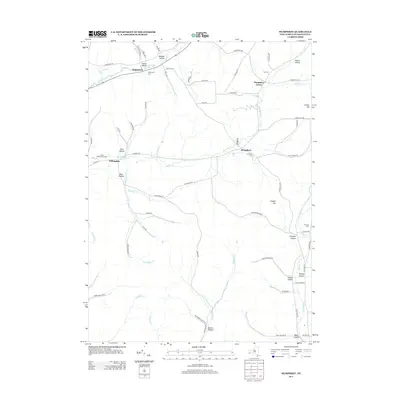
2013 Map of Humphrey
USGS Topo · Published 2013About this map
Humphrey and Humphrey Center anchor this rural landscape in Cattaraugus County, where the terrain is defined by a dense network of valleys and ridges. Small settlements like Sugartown and Willoughby are linked by winding roads that follow the natural contours of the land, such as Haines Hollow Rd and W Five Mile Rd. The geography is characterized by numerous hollows, including Haines Hollow, McGuan Hollow, and Morgan Hollow, through which creeks like Wrights Cr and Ninemile Cr flow.
Find a feature on this map
74 named features on this map. Tap any name to fly to it.
Don’t see what you’re looking for? This feature index may not catch every label — zoom into the map to look around manually.
Map Details
Editions of this 2013 Humphrey Map
This is the sole edition of this map. No revisions or reprints were ever made.
Other maps of this area

1898 · Olean
USGS Topo · 1:62,500

1900 · Salamanca
USGS Topo · 1:62,500

1924 · Ellicottville
USGS Topo · 1:62,500

1924 · Franklinville
USGS Topo · 1:62,500

1938 · Salamanca
USGS Topo · 1:62,500

1938 · Olean
USGS Topo · 1:62,500

1941 · Ellicottville
USGS Topo · 1:62,500

1942 · Franklinville
USGS Topo · 1:62,500

1943 · Olean
USGS Topo · 1:62,500

1943 · Salamanca
USGS Topo · 1:62,500