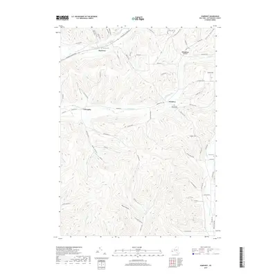
2019 Map of Humphrey
USGS Topo · Published 2019About this map
Humphrey and Humphrey Center anchor this rural landscape in the southern tier of New York, where high ridges and deep hollows dictate the settlement patterns. The topography is defined by the drainage of Wrights Cr and Fivemile Cr, which have carved out notable landforms like Bear Hollow and Flint Hollow. Family and local history are preserved in several scattered burial grounds, including the Saint Pacificus Catholic Cem and the Cole Cem located near the town center.
Find a feature on this map
68 named features on this map. Tap any name to fly to it.
Don’t see what you’re looking for? This feature index may not catch every label — zoom into the map to look around manually.
Map Details
Editions of this 2019 Humphrey Map
This is the sole edition of this map. No revisions or reprints were ever made.
Other maps of this area
1898 · Olean
USGS Topo · 1:62,500
1900 · Salamanca
USGS Topo · 1:62,500
1924 · Ellicottville
USGS Topo · 1:62,500
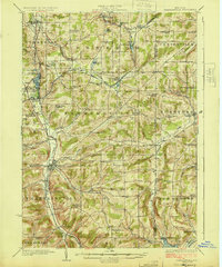
1924 · Franklinville
USGS Topo · 1:62,500
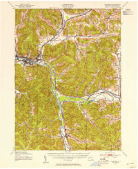
1938 · Salamanca
USGS Topo · 1:62,500
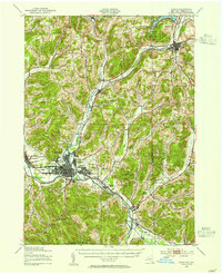
1938 · Olean
USGS Topo · 1:62,500
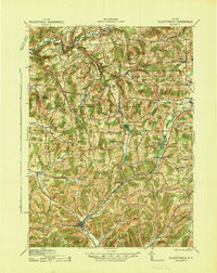
1941 · Ellicottville
USGS Topo · 1:62,500
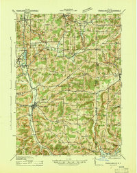
1942 · Franklinville
USGS Topo · 1:62,500
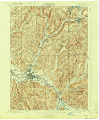
1943 · Olean
USGS Topo · 1:62,500
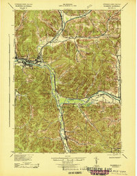
1943 · Salamanca
USGS Topo · 1:62,500