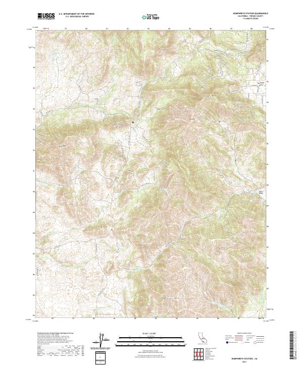
2021 Map of Humphreys Station
USGS Topo · Published 2021About this map
Burrough Valley and Watts Valley anchor this landscape in the foothills of the Sierra Nevada, where a network of rural roads traces the complex topography of Fresno County. The terrain is defined by prominent peaks including Wildcat Mtn, Red Mtn, and Green Mtn, which rise above the drainage basins of Fancher Cr and Dry Cr. This modern 2021 survey illustrates the contemporary settlement pattern, showing a high density of named local lanes like Hitching Post Rd and Hidden Hollow Ln that have developed alongside historic thoroughfares such as Tollhouse Rd. The distribution of these residential roads suggests the gradual transition of the area from purely ranching or agricultural use into a more populated rural residential district while maintaining its geographic character along Sales Cr and the various forks of Hughes Creek.
Find a feature on this map
56 named features on this map. Tap any name to fly to it.
Don’t see what you’re looking for? This feature index may not catch every label — zoom into the map to look around manually.
Map Details
Editions of this 2021 Humphreys Station Map
This is the sole edition of this map. No revisions or reprints were ever made.
Other maps of this area

1904 · Kaiser
USGS Topo · 1:125,000

1912 · Mariposa
USGS Topo · 1:125,000

1920 · Orangedale School
USGS Topo · 1:24,000

1922 · Round Mountain
USGS Topo · 1:31,680

1922 · Trimmer
USGS Topo · 1:96,000

1923 · Academy
USGS Topo · 1:31,680

1923 · Orangedale School
USGS Topo · 1:31,680

1924 · Dinuba
USGS Topo · 1:125,000

1942 · Watts Valley
USGS Topo · 1:62,500

1942 · Millerton Lake
USGS Topo · 1:62,500