2023 Map of Humptulips
USGS Topo · Published 2023About this map
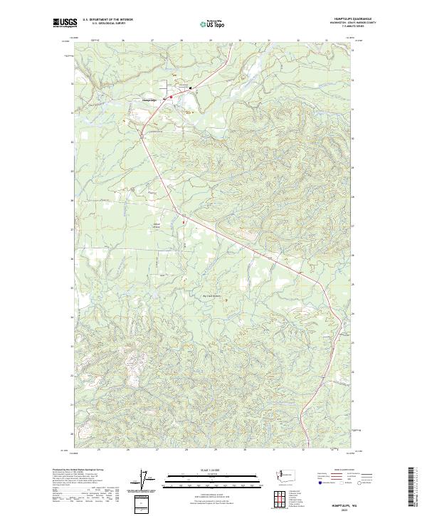
The Humptulips River drainage system dominates this Grays Harbor County landscape, where the small settlement of Humptulips serves as a central point for local travel. The topography is defined by the broad Big Creek Bottoms and a network of arterial creeks including Stevens Creek, Mopang Creek, and Fairchild Creek. Genealogists and local historians will find the Humptulips Cem north of the main town site, while the road network reflects the area's timber and agricultural roots through family-named routes such as Larson Brothers Rd, McNutt Rd, and Hansel Rd. To the south, the terrain transitions into the Axford Prairie and the headwaters of the West Fork Hoquiam River, illustrating the complex watershed divide that characterizes this part of the Olympic Peninsula foothills.
Find a feature on this map
33 named features on this map. Tap any name to fly to it.
Don’t see what you’re looking for? This feature index may not catch every label — zoom into the map to look around manually.
Map Details
Editions of this 2023 Humptulips Map
This is the sole edition of this map. No revisions or reprints were ever made.
Historical Maps of Grays Harbor County Through Time
4 maps found