Loading...
Loading map...1990 Map of Humptulips
USGS Topo · Published 1990About this map
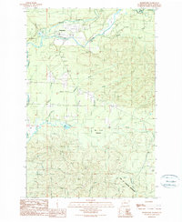
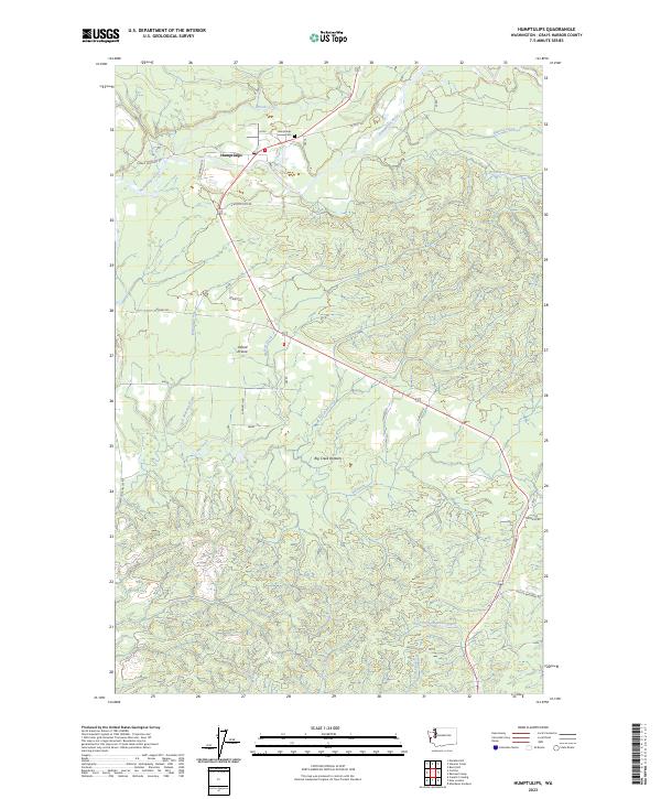
The Humptulips River dominates this Olympic Peninsula landscape, winding through a terrain defined by timber history and watershed management. Near the settlement of Humptulips, evidence of local infrastructure includes a Fish Hatchery, several Borrow Pits, and a Sewage Disposal Ponds site. The map records the industrial fingerprint of the region through the Old Railroad Grade and numerous logging-related features such as a Gravel Pit and multiple trailer parks.
Find a feature on this map
30 named features on this map. Tap any name to fly to it.
Don’t see what you’re looking for? This feature index may not catch every label — zoom into the map to look around manually.
Map Details
Date Portrayed1990
Date Published1990
PublisherU.S. Geological Survey
Map TypeTopographic
Scale1:24,000
Physical Dimensions22.1 x 27 inches
Editions of this 1990 Humptulips Map
This is the sole edition of this map. No revisions or reprints were ever made.
Historical Maps of Humptulips Through Time
4 maps found
Featured Locations
Source Details
SourceU.S. Geological Survey
CopyrightPublic Domain