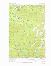
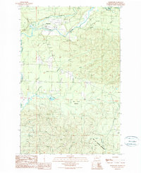
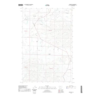
1955 Map of Humptulips
USGS Topo · Published 1976About this map
The Humptulips River and its intricate network of tributaries dominate this mid-century landscape in Grays Harbor County. This 1950s survey documents a region deeply shaped by the timber industry, marked by the extensive Logging Railroad and Polson Logging Railroad systems that snake through the drainage basins of the Hoquiam River and Wishkah River. Remote outposts like Railroad Camp and the rail-dependent Middle Fork Junction reflect the operational center of the woods, while established communities like New London and Woodlawn sit further south.
Find a feature on this map
57 named features on this map. Tap any name to fly to it.
Don’t see what you’re looking for? This feature index may not catch every label — zoom into the map to look around manually.
Map Details
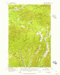
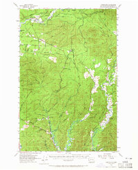
Editions of this 1955 Humptulips Map
3 editions found
Historical Maps of Aberdeen Through Time
8 maps found
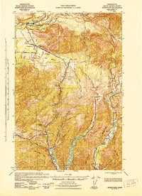
1943 Humptulips
Grays Harbor County, WA
1955 Humptulips
Grays Harbor County, WA
1990 Humptulips
Grays Harbor County, WA
2011 Humptulips
Grays Harbor County, WA
2014 Humptulips
Grays Harbor County, WA
2017 Humptulips
Grays Harbor County, WA
2020 Humptulips
Grays Harbor County, WA
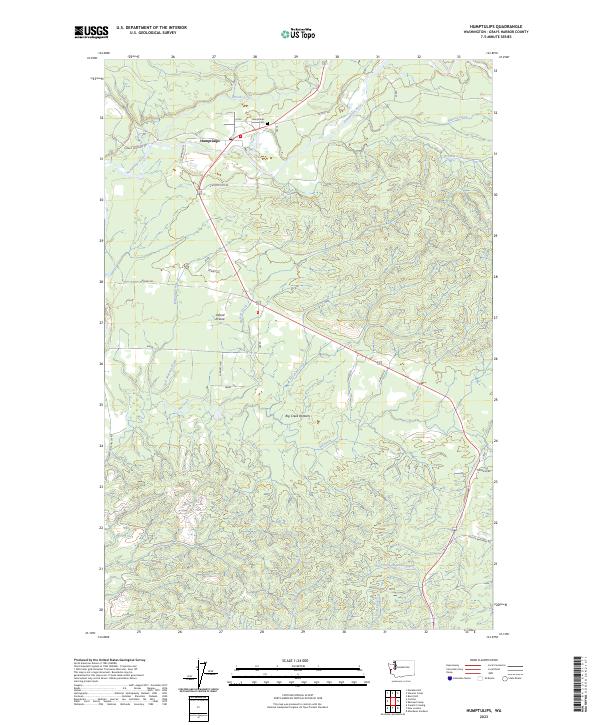
2023 Humptulips
Grays Harbor County, WA