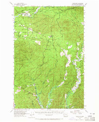
1955 Map of Humptulips
USGS Topo · Published 1965About this map
The Humptulips River and its intricate network of tributaries define this mid-century landscape in Grays Harbor County, where the transition from dense timberlands to coastal river bottoms is clearly marked. Local industry and infrastructure are centered around the Logging Railroad and established sites like Railroad Camp, complete with its own water tank. Settlement patterns are concentrated along the river valleys, with small communities such as New London and Aberdeen Gardens serving as focal points for rural life.
Find a feature on this map
53 named features on this map. Tap any name to fly to it.
Don’t see what you’re looking for? This feature index may not catch every label — zoom into the map to look around manually.
Map Details
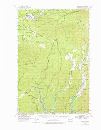
Editions of this 1955 Humptulips Map
3 editions found

Other maps of this area

1921 · Quinault Lake
USGS Topo · 1:62,500

1921 · Satsop
USGS Topo · 1:62,500

1938 · Moclips
USGS Topo · 1:62,500

1940 · Montesano
USGS Topo · 1:62,500

1941 · Mobray
USGS Topo · 1:62,500

1941 · Moclips
USGS Topo · 1:62,500

1941 · Grayland
USGS Topo · 1:62,500

1943 · Humptulips
USGS Topo · 1:62,500

1943 · Mobray
USGS Topo · 1:62,500

1943 · Copalis Beach
USGS Topo · 1:250,000