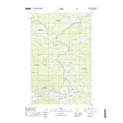
2020 Map of Hungry Horse
USGS Topo · Published 2020About this map
Coram, Martin City, and the town of Hungry Horse anchor the valley floor where the South Fork Flathead River meets the main stem. This landscape is defined by the protected borders of Glacier National Park and the Flathead National Forest, showcasing a complex network of forest development roads and scenic river corridors. The terrain rises sharply from the riverbanks toward the Whitefish Range and Teakettle Mtn, while Badrock Canyon forms a natural gateway at the southwestern edge.
Find a feature on this map
61 named features on this map. Tap any name to fly to it.
Don’t see what you’re looking for? This feature index may not catch every label — zoom into the map to look around manually.
Map Details
Editions of this 2020 Hungry Horse Map
This is the sole edition of this map. No revisions or reprints were ever made.
Other maps of this area
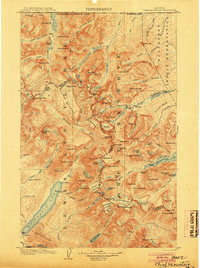
1904 · Chief Mountain
USGS Topo · 1:125,000
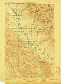
1906 · Kintla Lakes
USGS Topo · 1:125,000
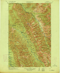
1914 · Nyack
USGS Topo · 1:125,000
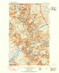
1938 · Chief Mountain
USGS Topo · 1:125,000
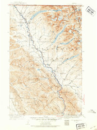
1938 · Kintla Lakes
USGS Topo · 1:125,000
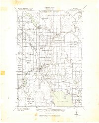
1943 · Kalispell
USGS Topo · 1:125,000
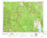
1957 · Kalispell
USGS Topo · 1:250,000
1960 · Kalispell
USGS Topo · 1:250,000
1960 · Cut Bank
USGS Topo · 1:250,000
1961 · Kalispell
USGS Topo · 1:250,000