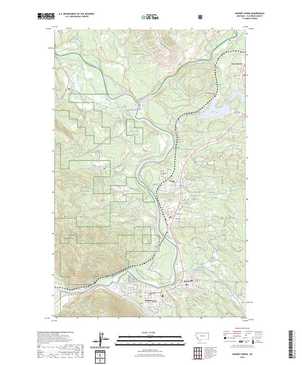
2024 Map of Hungry Horse
USGS Topo · Published 2024About this map
The Middle Fork Flathead River and North Fork Flathead River converge near West Glacier, forming a vital corridor along the southern edge of Glacier National Park. This survey captures the river-driven settlement pattern that stretches from the mouth of Badrock Canyon through the canyon-hugging communities of Hungry Horse, Martin City, and Coram. The landscape is dominated by the steep relief of the Whitefish Range and Teakettle Mtn, which constrain human activity to the narrow river valleys and the historic Old Hwy 2 corridor.
Find a feature on this map
58 named features on this map. Tap any name to fly to it.
Don’t see what you’re looking for? This feature index may not catch every label — zoom into the map to look around manually.
Map Details
Editions of this 2024 Hungry Horse Map
This is the sole edition of this map. No revisions or reprints were ever made.
Other maps of this area

1904 · Chief Mountain
USGS Topo · 1:125,000

1906 · Kintla Lakes
USGS Topo · 1:125,000

1914 · Nyack
USGS Topo · 1:125,000

1938 · Chief Mountain
USGS Topo · 1:125,000

1938 · Kintla Lakes
USGS Topo · 1:125,000

1943 · Kalispell
USGS Topo · 1:125,000

1957 · Kalispell
USGS Topo · 1:250,000

1960 · Kalispell
USGS Topo · 1:250,000

1960 · Cut Bank
USGS Topo · 1:250,000

1961 · Kalispell
USGS Topo · 1:250,000