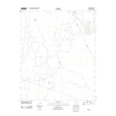
2011 Map of Hunt
USGS Topo · Published 2011About this map
Hunt serves as a small anchor point in this northeastern Arizona landscape, situated along the Little Colorado River. The area is defined by a network of drainage features like Manuel Seep Draw and Mail Station Draw that feed into the river valley. Local ranching and water management are evident through named features such as Dad Patterson Tank, Patterson Tank, and Fenceline Tank, which dot the arid terrain away from the primary watercourse.
Find a feature on this map
44 named features on this map. Tap any name to fly to it.
Don’t see what you’re looking for? This feature index may not catch every label — zoom into the map to look around manually.
Map Details
Editions of this 2011 Hunt Map
This is the sole edition of this map. No revisions or reprints were ever made.
Other maps of this area

1886 · St Johns
USGS Topo · 1:250,000

1892 · St Johns
USGS Topo · 1:250,000

1954 · Saint Johns
USGS Topo · 1:250,000

1955 · Adamana 3 NE
USGS Topo · 1:24,000

1955 · Adamana 4 SW
USGS Topo · 1:24,000

1955 · Adamana 4 NE
USGS Topo · 1:24,000

1955 · Adamana 4 NW
USGS Topo · 1:24,000

1955 · Adamana 3 SE
USGS Topo · 1:24,000

1955 · Adamana 4 SE
USGS Topo · 1:24,000

1955 · Hunt
USGS Topo · 1:62,500