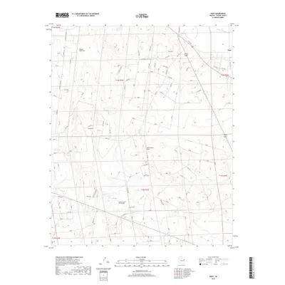
2018 Map of Hunt
USGS Topo · Published 2018About this map
The Little Colorado River winds through this high-desert region of Apache County, serving as the primary geographical anchor for a landscape defined by ranching and arid-land water management. Near the Little Colorado River Bridge, the terrain is marked by seasonal drainage systems such as Manuel Seep Draw, Oso Draw, and Mall Station Draw. The settlement of Hunt stands near the river's path, while the surrounding territory includes the Angle Ranch and several named water catchments like Patterson Tank and Fenceline Tank. This 2018 survey documents a contemporary view of traditional Arizona ranchland, where rural life is organized around specific water sources and named landmarks such as Sun Raven and Berry Frost. The map provides a detailed look at the local road network, including Hunt Rd and various county routes that connect these remote holdings.
Find a feature on this map
110 named features on this map. Tap any name to fly to it.
Don’t see what you’re looking for? This feature index may not catch every label — zoom into the map to look around manually.
Map Details
Editions of this 2018 Hunt Map
This is the sole edition of this map. No revisions or reprints were ever made.
Other maps of this area

1886 · St Johns
USGS Topo · 1:250,000

1892 · St Johns
USGS Topo · 1:250,000

1954 · Saint Johns
USGS Topo · 1:250,000

1955 · Adamana 3 NE
USGS Topo · 1:24,000

1955 · Adamana 4 SW
USGS Topo · 1:24,000

1955 · Adamana 4 NE
USGS Topo · 1:24,000

1955 · Adamana 4 NW
USGS Topo · 1:24,000

1955 · Adamana 3 SE
USGS Topo · 1:24,000

1955 · Adamana 4 SE
USGS Topo · 1:24,000

1955 · Hunt
USGS Topo · 1:62,500