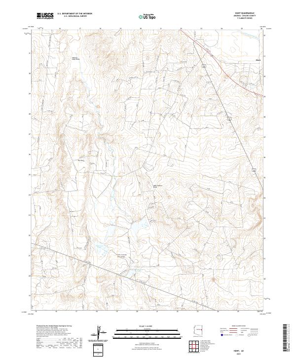
2021 Map of Hunt
USGS Topo · Published 2021About this map
Hunt stands at the northeastern edge of this desert landscape in Apache County, where the Little Colorado River winds through the terrain. The presence of the Little Colorado River Bridge highlights a vital crossing point for the region's ranching and transit networks. The map details a web of rural routes and family-named landmarks, such as Hap's Way and Blue Diamond, reflecting a sparse but resilient settlement pattern. Water management is central to the area's viability, evidenced by the scattered network of seasonal drainage features like Manuel Seep Draw, Mall Station Draw, and Oso Draw. Man-made water sources, including Patterson Tank and Fenceline Tank, further illustrate the efforts to sustain livestock and habitation in this arid environment.
Find a feature on this map
110 named features on this map. Tap any name to fly to it.
Don’t see what you’re looking for? This feature index may not catch every label — zoom into the map to look around manually.
Map Details
Editions of this 2021 Hunt Map
This is the sole edition of this map. No revisions or reprints were ever made.
Other maps of this area

1886 · St Johns
USGS Topo · 1:250,000

1892 · St Johns
USGS Topo · 1:250,000

1954 · Saint Johns
USGS Topo · 1:250,000

1955 · Adamana 3 NE
USGS Topo · 1:24,000

1955 · Adamana 4 SW
USGS Topo · 1:24,000

1955 · Adamana 4 NE
USGS Topo · 1:24,000

1955 · Adamana 4 NW
USGS Topo · 1:24,000

1955 · Adamana 3 SE
USGS Topo · 1:24,000

1955 · Adamana 4 SE
USGS Topo · 1:24,000

1955 · Hunt
USGS Topo · 1:62,500