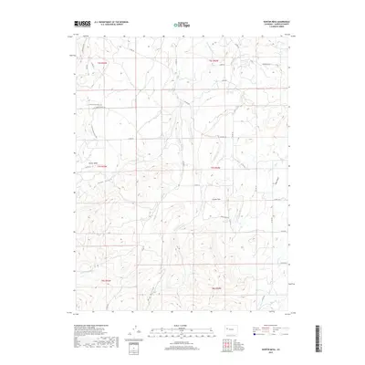
2019 Map of Hunter Mesa
USGS Topo · Published 2019About this map
Hunter Mesa and the surrounding high country of Garfield County are defined by an intricate network of irrigation systems and creek drainages that supported the region's ranching economy. This landscape is marked by the presence of several vital water management features, including the Multa Trina Ditch, Highline Ditch, and Porter Ditch, which redirect water across the terrain to sustain local land use. The topography is split by significant watercourses such as Middle Mamm Cr, E Mamm Cr, and W Mamm Cr, carving through the tablelands. Ranching heritage is evidenced by roads like Cedar Springs Ranch Rd, while natural landmarks like Coyote Park, Gant Gulch, and Halls Gulch provide distinct geographic anchors for researchers of this part of the Colorado high desert.
Find a feature on this map
44 named features on this map. Tap any name to fly to it.
Don’t see what you’re looking for? This feature index may not catch every label — zoom into the map to look around manually.
Map Details
Editions of this 2019 Hunter Mesa Map
This is the sole edition of this map. No revisions or reprints were ever made.
Other maps of this area

1906 · Grand Hogback
USGS Topo · 1:125,000

1910 · Grand Hogback
USGS Topo · 1:125,000

1952 · Rifle
USGS Topo · 1:24,000

1957 · Leadville
USGS Topo · 1:250,000

1959 · Leadville
USGS Topo · 1:250,000

1960 · Leadville
USGS Topo · 1:250,000

1960 · North Mamm Peak
USGS Topo · 1:24,000

1960 · South Mamm Peak
USGS Topo · 1:24,000

1962 · Leadville
USGS Topo · 1:250,000

1962 · New Castle
USGS Topo · 1:24,000