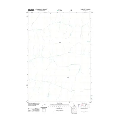
2011 Map of Hunter Peak
USGS Topo · Published 2011About this map
Hunter Peak and Moe Peak anchor this high-altitude landscape along the Idaho-Montana border within the Selway-Bitterroot Wilderness area. The terrain is defined by a radial drainage pattern where numerous cold-water streams, including Bear Creek, Spruce Creek, and Paradise Creek, carve deep through the mountain flanks. This 2011 survey captures the area's primitive state, devoid of roads or settlements, reflecting a preservation of the backcountry as it appeared for generations. The geography is punctuated by sharp landmarks like Rock Point and the headwaters of Cub Creek, offering a detailed view of the natural watercourses and ridges that separate these two states. For researchers or outdoorsmen, the map provides precise topographic data for one of the more remote sections of the Bitterroot Range.
Find a feature on this map
8 named features on this map. Tap any name to fly to it.
Don’t see what you’re looking for? This feature index may not catch every label — zoom into the map to look around manually.
Map Details
Editions of this 2011 Hunter Peak Map
This is the sole edition of this map. No revisions or reprints were ever made.
Other maps of this area

1901 · Hamilton
USGS Topo · 1:125,000

1911 · Lolo
USGS Topo · 1:250,000

1913 · Lolo
USGS Topo · 1:250,000

1956 · Elk City
USGS Topo · 1:250,000

1956 · Hamilton
USGS Topo · 1:250,000

1959 · Hamilton
USGS Topo · 1:250,000

1960 · Elk City
USGS Topo · 1:250,000

1960 · Hamilton
USGS Topo · 1:250,000

1964 · Hamilton
USGS Topo · 1:250,000

1964 · Tenmile Lake
USGS Topo · 1:24,000