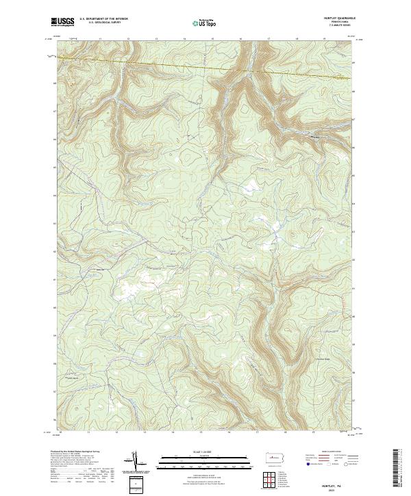
2023 Map of Huntley
USGS Topo · Published 2023About this map
Huntley serves as a lone point of settlement in this landscape dominated by the deep incisions of the Allegheny Plateau. The terrain is defined by the convergence of several major watercourses, including Medix Run and Little Medix Run, which carve through the high elevations of Chestnut Ridge. This area in northern Clearfield County is characterized by massive public land holdings, where the boundaries of Moshannon State Forest, Parker Dam State Park, and S.B. Elliott State Park intersect.
Find a feature on this map
53 named features on this map. Tap any name to fly to it.
Don’t see what you’re looking for? This feature index may not catch every label — zoom into the map to look around manually.
Map Details
Editions of this 2023 Huntley Map
This is the sole edition of this map. No revisions or reprints were ever made.
Other maps of this area

1929 · Clearfield
USGS Topo · 1:48,000

1929 · Penfield
USGS Topo · 1:62,500

1932 · Clearfield
USGS Topo · 1:62,500

1932 · Penfield
USGS Topo · 1:62,500

1941 · Benezette
USGS Topo · 1:62,500

1941 · Ridgway
USGS Topo · 1:62,500

1943 · Benezette
USGS Topo · 1:62,500

1944 · Ridgway
USGS Topo · 1:62,500

1957 · Warren
USGS Topo · 1:250,000

1958 · Warren
USGS Topo · 1:250,000