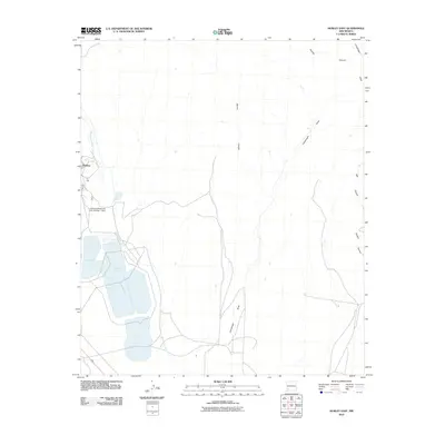
2010 Map of Hurley East
USGS Topo · Published 2010About this map
Hurley sits on the western edge of this High Desert landscape, where the town's industrial legacy is clearly defined by large-scale infrastructure. The eastern vicinity of the settlement is dominated by the massive Tailings Pond complex and the Kennicott Reservoir Lake Number 1 Dam, features that trace the footprint of regional copper mining operations. Beyond these man-made structures, the terrain is carved by a network of ephemeral watercourses including Whitewater Creek and the long stretch of Lampbright Draw. These drainage patterns, including Rustler Canyon and Martin Canyon, reveal the natural topography of Grant County before it gives way to the industrial development near the town site. The map captures the significant environmental interface between the residential community and the extensive mining facilities that have shaped the local economy and geography.
Find a feature on this map
9 named features on this map. Tap any name to fly to it.
Don’t see what you’re looking for? This feature index may not catch every label — zoom into the map to look around manually.
Map Details
Editions of this 2010 Hurley East Map
This is the sole edition of this map. No revisions or reprints were ever made.
Other maps of this area

1909 · Silver City
USGS Topo · 1:125,000

1937 · Santa Rita
USGS Topo · 1:24,000

1947 · Faywood Station
USGS Topo · 1:24,000

1947 · Fort Bayard
USGS Topo · 1:24,000

1948 · Santa Rita
USGS Topo · 1:24,000

1948 · Hurley East
USGS Topo · 1:24,000

1949 · Fort Bayard
USGS Topo · 1:24,000

1949 · Whitewater
USGS Topo · 1:24,000

1949 · Hurley East
USGS Topo · 1:24,000

1949 · Faywood Station
USGS Topo · 1:24,000