
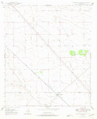
1947 Map of Faywood Station
USGS Topo · Published 1966About this map
Faywood Station serves as the primary focal point on this 1947 survey of the high desert along the Grant Co Luna Co boundary. The landscape is defined by the convergence of arid drainage systems and the critical lifeline of the Atchison Topeka and Santa Fe railroad, which cuts a sharp diagonal across the terrain. A notable environmental feature is the presence of Warm Springs, a localized pocket of greenery that contrasts with the surrounding dry watercourses like Lampbright Draw and San Vicente Arroyo. The map documents a ranching and transportation landscape where numerous scattered windmills denote the vital importance of groundwater management in this corner of New Mexico. The transition from the more rugged Hogback Draw to the flatter expanses near Whitewater Creek illustrates the subtle but significant topography that dictated the placement of early rail infrastructure.
Find a feature on this map
10 named features on this map. Tap any name to fly to it.
Don’t see what you’re looking for? This feature index may not catch every label — zoom into the map to look around manually.
Map Details
Editions of this 1947 Faywood Station Map
2 editions found
Other maps of this area

1899 · Deming
USGS Topo · 1:125,000

1909 · Silver City
USGS Topo · 1:125,000

1915 · Deming
USGS Topo · 1:125,000

1948 · Hurley East
USGS Topo · 1:24,000

1949 · Whitewater
USGS Topo · 1:24,000

1949 · Hurley East
USGS Topo · 1:24,000

1949 · Faywood Station
USGS Topo · 1:24,000

1949 · Hurley West
USGS Topo · 1:24,000

1954 · Silver City
USGS Topo · 1:250,000

1955 · Las Cruces
USGS Topo · 1:250,000