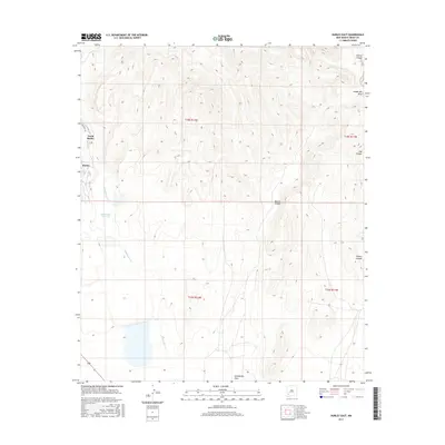
2017 Map of Hurley East
USGS Topo · Published 2017About this map
Hurley and North Hurley occupy the western edge of this High Desert landscape, where the Chihuahuan Desert meets the foothills of the Gila region. The terrain is defined by a series of parallel drainages, notably Rustler Canyon and Lampbright Draw, which channel seasonal runoff toward the lowlands. Central to the area’s hydrology is the Whitewater Reservoir, fed by Whitewater Cr, reflecting the region’s reliance on managed water resources. The map captures a transition from the structured residential blocks on the outskirts of the settlements to the winding canyons like Martin Canyon and Seneca Canyon to the east. Public Land Survey System boundaries, including t18s r12w and t19s r11w, provide a clear grid for tracking land ownership and historic development near Delaney Rd.
Find a feature on this map
16 named features on this map. Tap any name to fly to it.
Don’t see what you’re looking for? This feature index may not catch every label — zoom into the map to look around manually.
Map Details
Editions of this 2017 Hurley East Map
This is the sole edition of this map. No revisions or reprints were ever made.
Other maps of this area

1909 · Silver City
USGS Topo · 1:125,000

1937 · Santa Rita
USGS Topo · 1:24,000

1947 · Faywood Station
USGS Topo · 1:24,000

1947 · Fort Bayard
USGS Topo · 1:24,000

1948 · Santa Rita
USGS Topo · 1:24,000

1948 · Hurley East
USGS Topo · 1:24,000

1949 · Fort Bayard
USGS Topo · 1:24,000

1949 · Whitewater
USGS Topo · 1:24,000

1949 · Hurley East
USGS Topo · 1:24,000

1949 · Faywood Station
USGS Topo · 1:24,000