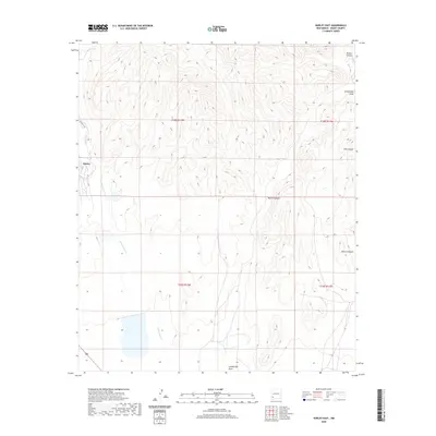
2020 Map of Hurley East
USGS Topo · Published 2020About this map
Hurley sits on the western edge of this southwestern landscape, where the high desert terrain is defined by a complex drainage system flowing toward the south and west. The prominent Whitewater Cr winds through the lower elevations, collecting runoff from a series of significant geographic features including Martin Canyon and Rustler Canyon. This 2020 survey illustrates the remote character of the Chino Valley periphery, showing the land divided by the Public Land Survey System into townships such as t18s r12w and t18s r11w. The rugged relief is further detailed by the inclusion of Lampbright Draw and Seneca Canyon, which provide a clear picture of the hydrological patterns that have shaped land use and access in this part of Grant County for generations.
Find a feature on this map
12 named features on this map. Tap any name to fly to it.
Don’t see what you’re looking for? This feature index may not catch every label — zoom into the map to look around manually.
Map Details
Editions of this 2020 Hurley East Map
This is the sole edition of this map. No revisions or reprints were ever made.
Other maps of this area

1909 · Silver City
USGS Topo · 1:125,000

1937 · Santa Rita
USGS Topo · 1:24,000

1947 · Faywood Station
USGS Topo · 1:24,000

1947 · Fort Bayard
USGS Topo · 1:24,000

1948 · Santa Rita
USGS Topo · 1:24,000

1948 · Hurley East
USGS Topo · 1:24,000

1949 · Fort Bayard
USGS Topo · 1:24,000

1949 · Whitewater
USGS Topo · 1:24,000

1949 · Hurley East
USGS Topo · 1:24,000

1949 · Faywood Station
USGS Topo · 1:24,000