2021 Map of Hurley
USGS Topo · Published 2021About this map
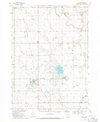
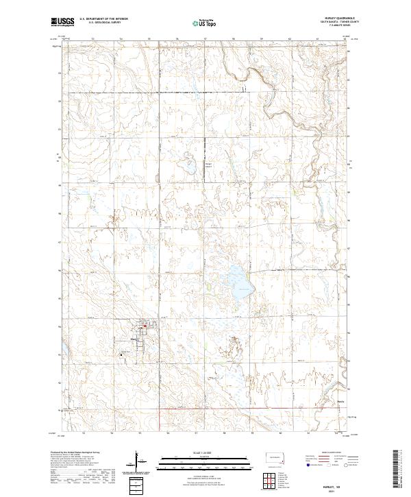
Hurley serves as the primary hub of this eastern South Dakota landscape, where the grid of rural roads meets the winding path of Hurley Cr. The map details the local cemetery locations, including the Hurley Cem south of town and the Catholic Cem situated near the intersection of 285th St. This area of Turner County is defined by its water management and natural drainage, with the Vermillion River passing through the southeastern corner near Davis, and the Alberty Ditch and Lee Cr carving through the northern sections.
Find a feature on this map
30 named features on this map. Tap any name to fly to it.
Don’t see what you’re looking for? This feature index may not catch every label — zoom into the map to look around manually.
Map Details
Editions of this 2021 Hurley Map
This is the sole edition of this map. No revisions or reprints were ever made.