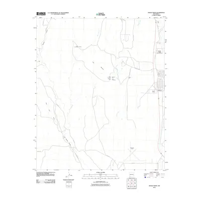
2010 Map of Hurley West
USGS Topo · Published 2010About this map
The high desert of Grant County serves as a backdrop for the mining and transportation infrastructure documented in this 2010 survey. Industrial history is etched into the landscape around Lone Mountain, where a cluster of historic mineral claims includes the Sweet Home Mine, Eighty Four Mine, and the Ben Hur Mine. These sites sit between the drainage of Rio de Arenas and Cameron Creek, illustrating the intersection of natural topography and New Mexico's extraction economy.
Find a feature on this map
32 named features on this map. Tap any name to fly to it.
Don’t see what you’re looking for? This feature index may not catch every label — zoom into the map to look around manually.
Map Details
Editions of this 2010 Hurley West Map
This is the sole edition of this map. No revisions or reprints were ever made.
Other maps of this area

1909 · Silver City
USGS Topo · 1:125,000

1937 · Santa Rita
USGS Topo · 1:24,000

1947 · Faywood Station
USGS Topo · 1:24,000

1947 · Fort Bayard
USGS Topo · 1:24,000

1948 · Santa Rita
USGS Topo · 1:24,000

1948 · Hurley East
USGS Topo · 1:24,000

1949 · Fort Bayard
USGS Topo · 1:24,000

1949 · Whitewater
USGS Topo · 1:24,000

1949 · Hurley East
USGS Topo · 1:24,000

1949 · Faywood Station
USGS Topo · 1:24,000