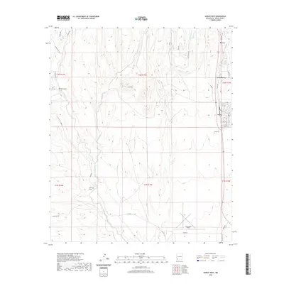
2020 Map of Hurley West
USGS Topo · Published 2020About this map
The town of Hurley and its residential grid define the eastern edge of this modern-era Grant County landscape, providing a detailed look at the local infrastructure and terrain. In the southern portion of the sheet, the Grant County Airport serves as a significant regional landmark, while the Hurley Cem is situated just south of the main settlement. The geography is characterized by several drainage systems, including the Rio de Arenas and San Vicente Arroyo, which flow southward through the semi-arid environment. Prominent high points like Lone Mtn break the horizon between the valley floors and the winding paths of Cameron Cr and Whitewater Cr. Historical routes and modern access points are visible via Ridge Rd and S Ridge Rd, illustrating the movement of traffic between Bayard and North Hurley.
Find a feature on this map
46 named features on this map. Tap any name to fly to it.
Don’t see what you’re looking for? This feature index may not catch every label — zoom into the map to look around manually.
Map Details
Editions of this 2020 Hurley West Map
This is the sole edition of this map. No revisions or reprints were ever made.
Other maps of this area

1909 · Silver City
USGS Topo · 1:125,000

1937 · Santa Rita
USGS Topo · 1:24,000

1947 · Faywood Station
USGS Topo · 1:24,000

1947 · Fort Bayard
USGS Topo · 1:24,000

1948 · Santa Rita
USGS Topo · 1:24,000

1948 · Hurley East
USGS Topo · 1:24,000

1949 · Fort Bayard
USGS Topo · 1:24,000

1949 · Whitewater
USGS Topo · 1:24,000

1949 · Hurley East
USGS Topo · 1:24,000

1949 · Faywood Station
USGS Topo · 1:24,000