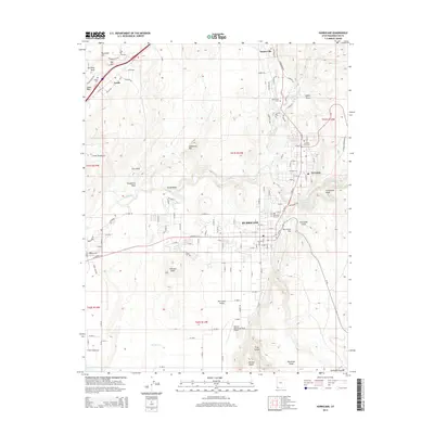
2014 Map of Hurricane
USGS Topo · Published 2014About this map
Hurricane and the neighboring settlements of LaVerkin, Toquerville, and Leeds anchor this 2014 study of the southern Utah landscape. The topography is dominated by the dramatic Hurricane Cliffs and the course of the Virgin River, which carves through the red rock terrain near Chinatown Wash. This edition documents the expansion of local infrastructure, from the General Dick Stout Field Airport to the Sand Hollow Reservoir in the southwest. For those tracing family history, the map provides precise locations for four burial grounds: Hurricane City Cem, LaVerkin City Cem, Toquerville Cem, and Leeds Cem. The transition from the rugged Buckeye Reef to the agricultural lands of Hurricane Fields illustrates how the region's geography dictated its development. Named landmarks like Mollies Nipple and Sullivan Knoll provide distinct navigational points across the varied desert floor.
Find a feature on this map
140 named features on this map. Tap any name to fly to it.
Don’t see what you’re looking for? This feature index may not catch every label — zoom into the map to look around manually.
Map Details
Editions of this 2014 Hurricane Map
This is the sole edition of this map. No revisions or reprints were ever made.
Other maps of this area

1885 · St. George
USGS Topo · 1:250,000

1891 · St. George
USGS Topo · 1:250,000

1953 · Cedar City
USGS Topo · 1:250,000

1954 · La Verkin 4 NW
USGS Topo · 1:24,000

1954 · La Verkin 4 SW
USGS Topo · 1:24,000

1954 · La Verkin 3 NW
USGS Topo · 1:24,000

1954 · La Verkin 3 NE
USGS Topo · 1:24,000

1954 · La Verkin 1 SW
USGS Topo · 1:24,000

1954 · La Verkin 3 SE
USGS Topo · 1:24,000

1954 · La Verkin 3 SW
USGS Topo · 1:24,000