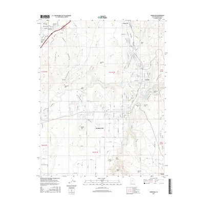
2017 Map of Hurricane
USGS Topo · Published 2017About this map
The Virgin River and its tributaries, Ash Creek and La Verkin Creek, carve through this landscape where the high plateau meets the river valley. This 2017 survey documents the modern growth of Hurricane and LaVerkin, while carefully noting the historic footprints of earlier settlements at Leeds and Toquerville. The geography is defined by significant elevation changes, from the Hurricane Cliffs and Sandstone Mountain to the depths of Nephis Twist.
Find a feature on this map
142 named features on this map. Tap any name to fly to it.
Don’t see what you’re looking for? This feature index may not catch every label — zoom into the map to look around manually.
Map Details
Editions of this 2017 Hurricane Map
This is the sole edition of this map. No revisions or reprints were ever made.
Other maps of this area

1885 · St. George
USGS Topo · 1:250,000

1891 · St. George
USGS Topo · 1:250,000

1953 · Cedar City
USGS Topo · 1:250,000

1954 · La Verkin 4 NW
USGS Topo · 1:24,000

1954 · La Verkin 4 SW
USGS Topo · 1:24,000

1954 · La Verkin 3 NW
USGS Topo · 1:24,000

1954 · La Verkin 3 NE
USGS Topo · 1:24,000

1954 · La Verkin 1 SW
USGS Topo · 1:24,000

1954 · La Verkin 3 SE
USGS Topo · 1:24,000

1954 · La Verkin 3 SW
USGS Topo · 1:24,000