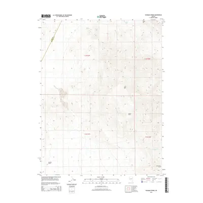
2014 Map of Hussman Spring
USGS Topo · Published 2014About this map
Wassuk Range peaks dominate this high-desert landscape on the border of Lyon and Mineral counties, rising toward landmarks like White Mtn and Black Mtn. This arid environment is defined by its critical water sources, including the eponymous Hussman Spring, Perry Springs, and Paiute Spring, which would have been vital points for early travelers and ranchers. The survey captures the transition from the steep mountain slopes down into the drainage of Reese River Canyon and the lower elevations of Pumpkin Hollow. The intricate contour lines reveal the complex topography of the eastern Great Basin, showing the isolation and demanding nature of this terrain during the early 21st century.
Find a feature on this map
13 named features on this map. Tap any name to fly to it.
Don’t see what you’re looking for? This feature index may not catch every label — zoom into the map to look around manually.
Map Details
Editions of this 2014 Hussman Spring Map
This is the sole edition of this map. No revisions or reprints were ever made.
Other maps of this area

1891 · Wabuska
USGS Topo · 1:125,000

1891 · Wellington
USGS Topo · 1:125,000

1893 · Wellington
USGS Topo · 1:125,000

1894 · Wabuska
USGS Topo · 1:125,000

1908 · Carson Sink
USGS Topo · 1:250,000

1909 · Hawthorne
USGS Topo · 1:250,000

1910 · Carson Sink
USGS Topo · 1:250,000

1911 · Hawthorne
USGS Topo · 1:250,000

1915 · Hawthorne
USGS Topo · 1:250,000

1948 · Walker Lake
USGS Topo · 1:250,000