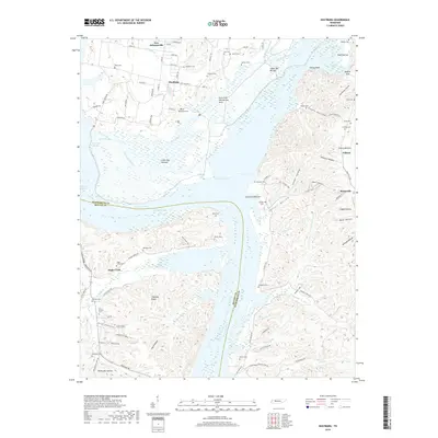
2019 Map of Hustburg
USGS Topo · Published 2019About this map
The wide reach of the Tennessee River and Kentucky Lake dominates this 2019 view of the border between Humphreys and Benton Counties. The landscape is defined by extensive lowlands like Lower Big Bottom and the Duck River Dewatering Area, where the management of the river system dictates the local geography. Significant family and community history is preserved in the numerous burial sites across the ridges, including the DePriest Cem, Arrington Cem, and Eagle Creek Cem.
Find a feature on this map
117 named features on this map. Tap any name to fly to it.
Don’t see what you’re looking for? This feature index may not catch every label — zoom into the map to look around manually.
Map Details
Editions of this 2019 Hustburg Map
This is the sole edition of this map. No revisions or reprints were ever made.
Other maps of this area

1936 · Hurricane Mills
USGS Topo · 1:24,000

1936 · Camden
USGS Topo · 1:24,000

1936 · Daniels Landing
USGS Topo · 1:24,000

1936 · Johnsonville
USGS Topo · 1:24,000

1936 · Sugar Tree
USGS Topo · 1:24,000

1936 · Lobelville
USGS Topo · 1:24,000

1936 · Rockport
USGS Topo · 1:24,000

1936 · Waverly
USGS Topo · 1:24,000

1936 · Hustburg
USGS Topo · 1:24,000

1949 · Daniels Landing
USGS Topo · 1:24,000