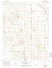
1965 Map of Hutchinson NW
USGS Topo · Published 1978About this map
The Welch Bornholdt Oil Field dominates the northern landscape of this Kansas interior, where industrial extraction and agricultural life meet. The terrain is defined by the winding course of the Little Arkansas River and Sand Creek, creating a varied environment for the surrounding communities of Medora, Little Valley, and East Washington. Transportation is anchored by the St Louis - San Francisco railroad, which cuts diagonally across the quadrangle, linking these rural townships to larger regional markets.
Find a feature on this map
17 named features on this map. Tap any name to fly to it.
Don’t see what you’re looking for? This feature index may not catch every label — zoom into the map to look around manually.
Map Details
Editions of this 1965 Hutchinson NW Map
2 editions found
Other maps of this area

1891 · Hutchinson
USGS Topo · 1:125,000

1893 · Hutchinson
USGS Topo · 1:125,000

1894 · Lyons
USGS Topo · 1:125,000

1955 · Great Bend
USGS Topo · 1:250,000

1955 · Hutchinson
USGS Topo · 1:250,000

1957 · Great Bend
USGS Topo · 1:250,000

1958 · Great Bend
USGS Topo · 1:250,000

1959 · Hutchinson
USGS Topo · 1:250,000

1960 · Yaggy
USGS Topo · 1:24,000
1960 · Hutchinson
USGS Topo · 1:24,000