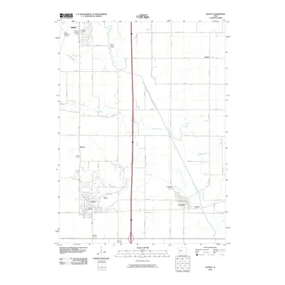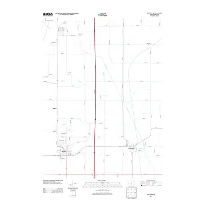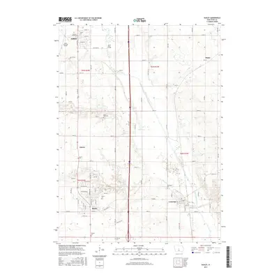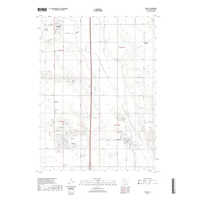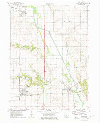
1975 Map of Huxley
USGS Topo · Published 1978About this map
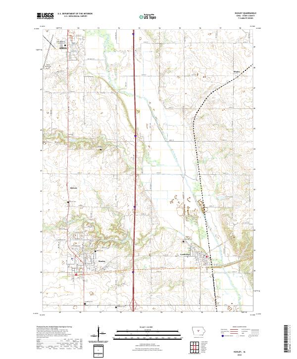
The South Skunk River carves a diagonal path through this Story County landscape, defining the agricultural and transit corridors between Ames and Cambridge. This mid-1970s survey illustrates a region where rural traditions meet mid-century infrastructure, evidenced by the convergence of major rail lines including the Chicago Rock Island and Pacific and the Chicago and North Western. The town of Huxley serves as a central hub, flanked by smaller communities like Midvale and Shipley. Local history is preserved in several rural burial grounds such as Lincoln Cem and Walnut Grove Cem, while the Palestine Ch remains a landmark in Palestine township. Significant land use features include the State Nursery near the city limits and the Ballard Country Club along the winding Ballard Creek.
Find a feature on this map
28 named features on this map. Tap any name to fly to it.
Don’t see what you’re looking for? This feature index may not catch every label — zoom into the map to look around manually.
Map Details
Editions of this 1975 Huxley Map
This is the sole edition of this map. No revisions or reprints were ever made.
Historical Maps of Ames Through Time
6 maps found